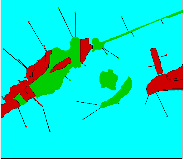
Figure 12. A diagram of the first approach, the general linear model. Sites were classified
by the nearest land use class, and the distance from each site to shore was recorded.