
Key West Harbor
Benthic Survey
Information and Data Reports
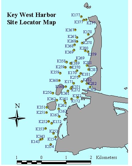
Project Description:
In May 1999 Seagrass Ecosystems Research Lab divers conducted a benthic habitat survey of Key West Harbor. The survey was a cooperative effort between scientists and commercial marine interests focused on determining the potential effects of water turbidity on benthic habitats. Fifty sites were surveyed using the Braun Blanquet method. Percent cover of macrophytes and substrate type were recorded in ten 0.25 square meter quadrats at each site. Two substrate photographs and additional physical data (water depth, temperature, salinity, and turbidity) were also recorded at each site.